Before I rode my bike to work, I used to think people who biked, even from La Lengua to Civic Center, were CRAZYTOWN. Now, well, I think they are less crazy. I can bike downtown faster than via transit, and often driving.
It’s pretty hard to get sense of how long it takes to ride places. How long does it take to bike a mile? Two miles? A half mile? I ride every day, and I still don’t have a great feel for distance. Anyway, there is one way to solve this: MAPS. (Shocking I know).
There are these cool things called isochrones, which show travel distances of equal time as lines (thank the ancient Greeks, iso = equal, chronos = time). I happen to work for a mapping company that has an isochrone service, and now I know how to make these things.
Here’s a map showing 5, 10, 15 and 20 minute bike isochrones from La Lengua:
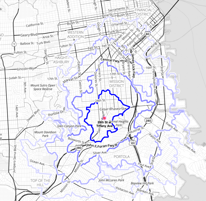
5/10/15/20 minute biking distances from 29th Street in La Lengua
These isochrones take into account hills, prefer bike lanes, and use a relatively moderate biking speed. Actual travel times might be a little slower or faster for some folks, but this gives a pretty reasonable indication of how far you can get on a bike across town.
You can get surprisingly far in just 5 or 10 minutes (the two darkest blue rings).
Speaking of bike lanes, it’s always nice to see where it’s safe/less dangerous to bike. It just so happens I have the technology to put bike lanes into this map.
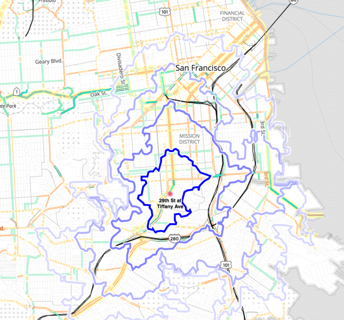
5/10/15/20 minute biking distances from 29th Street in La Lengua, with bike routes shown
Green indicates protected bike lanes, while orange are OK bike lanes based on a bunch of different parameters (bike infrastructure, road type, etc). Here’s the key:

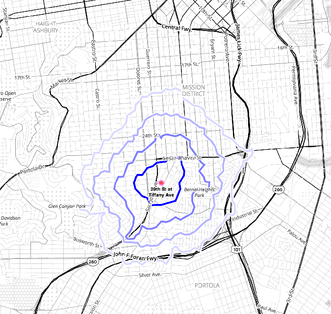
While I love to walk, it’s a haul. Here are 5/10/15/20 minute walking isochrones for La Lengua. (No wonder I never go to Noe Valley OMG SO FAR. And no wonder I rarely see the Valley People in La Lengua — you might as well need a visa.)
5/10/15/20 minute walking distances from 29th Street in La Lengua
OK this may shock you, but I made a GIF of walking vs biking isochrones (the same shades of blue indicate 5, 10, 15, 20 min travel time whether by bike or by foot):
Walking vs. Biking: 5/10/15/20 minute travel distances from 29th Street in La Lengua
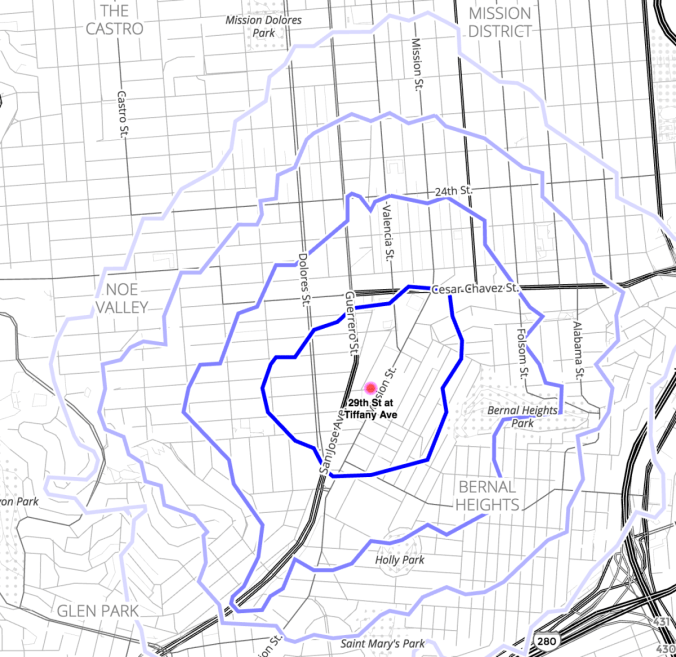
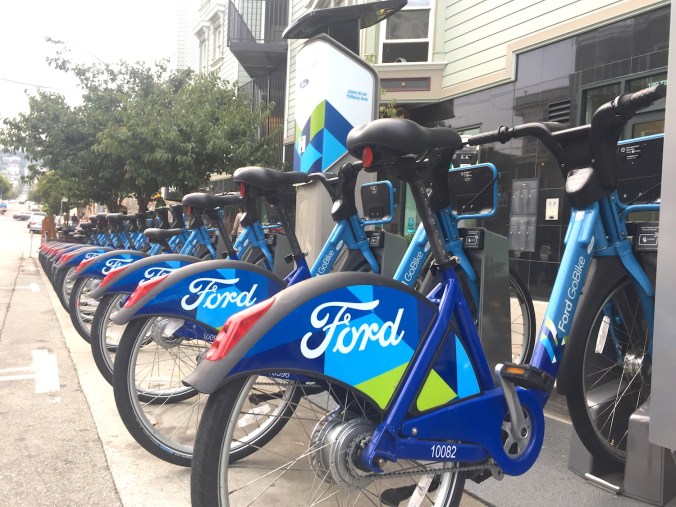
Unless you’ve been living in a cave, you know that they’re expanding bike share stations throughout the Mission and La Lengua (sorry Bernal). While you think that this would be celebrated, there are… opinions. These involve parking spots (shocking) and gentrification (shocking). But just look at how many bikeshare stations (pink circles) you can get to in five or ten or 15 minutes!

Detail: 5/10/15 minute biking distances from 29th Street in La Lengua
And guess what — you can bike TO La Lengua! (Oh man, biking from 24th St. BART to the 29th St bikeshare station, that will be sweet.)
While it may take some effort to realize that biking is a possibility, don’t stress about the bikeshare stations! They let you get places fast, and they let people get HERE easily. Here’s a quick map of just some of the restaurants, bars and businesses that are within 200 yards from the bikeshare station on 29th and Tiffany:

Restaurants, bars and businesses within 200 yards of 29th St. bike share station. The aqua-colored circles are business that have closed or gone — Cole Hardware, 3300, El Gran Taco Loco…
Wwe have a pretty sweet little commercial corridor along 29th and on Mission in La Lengua, and you can look at these isochrones the other way around — folks who might never walk over can bike here in 5 or 10 minutes and enjoy our superior food and drinking and shopping establishments such as Rock Bar, The Front Porch, Good Frickin Chicken, PizzaHacker, Fumi Curry, Ichi Sushi, Coco Ramen, Old Bus Tavern, Mitchell’s, Iron & Gold, Los Panchos, Royal Cuckoo, Secession, and many, many more. And won’t have to worry about parking.
You can drill into a dynamic slippy map here (work in progress!) Drop me a line if you want me to show you how to make isochrones from your neighborhood or business district.


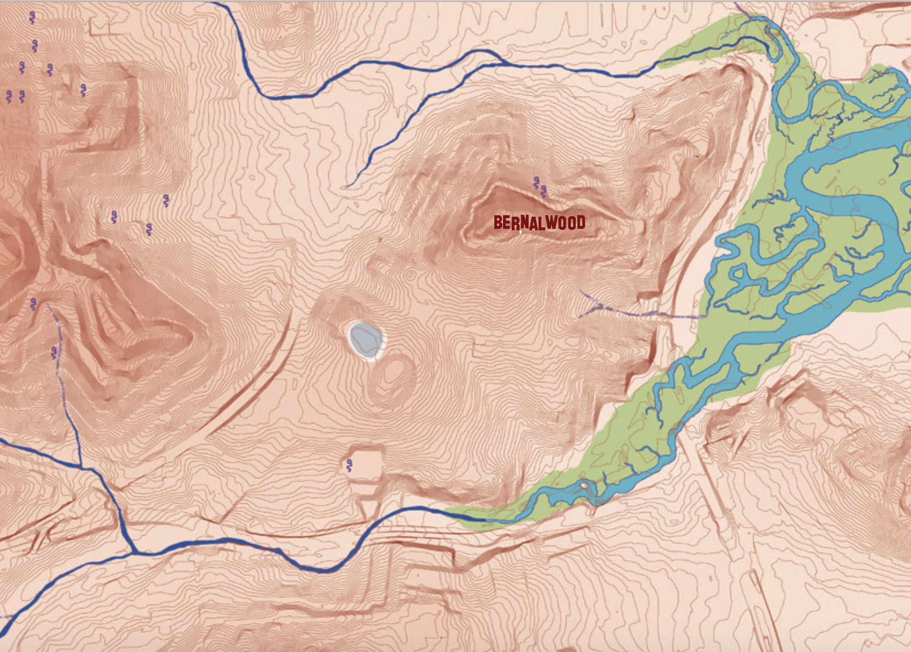
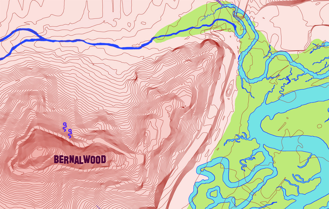
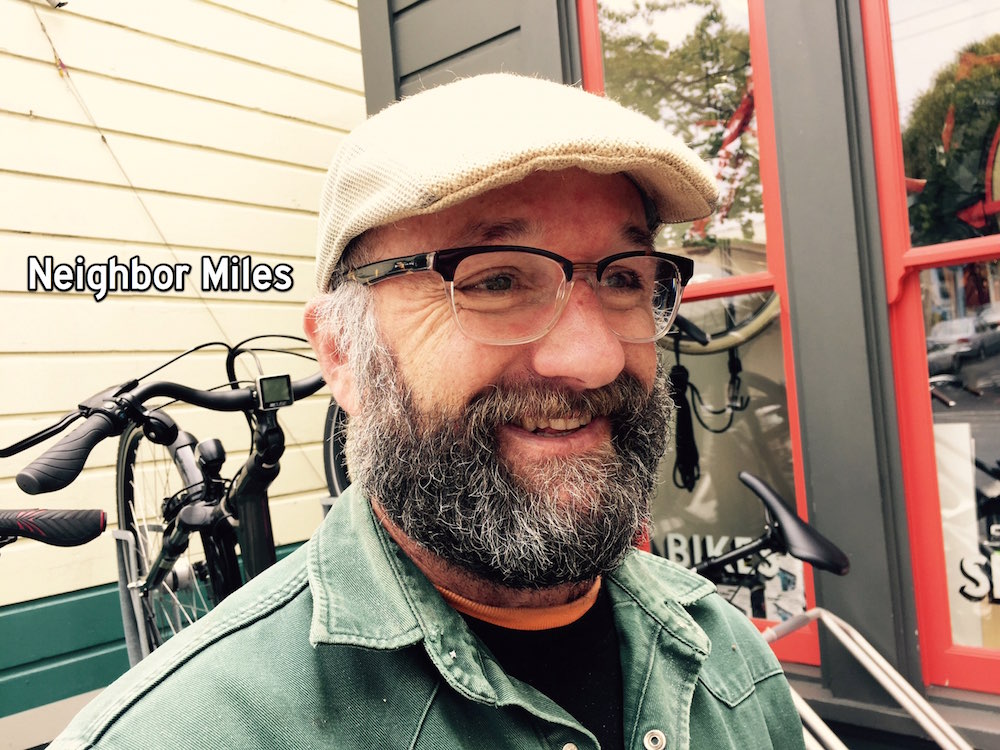
 It’s not clear if any Bernalese humans will have a Martin Avenue address, but earlier this year, I actually (and unknowingly) visited Martin Avenue with Bernalwood’s Cub Reporter to capture a sighting of a


